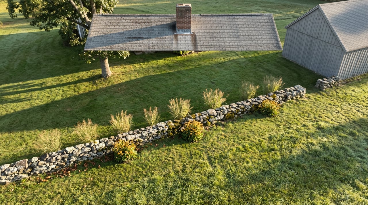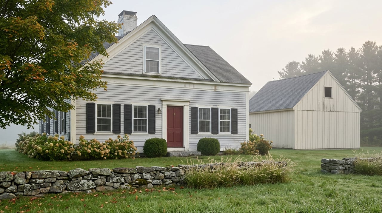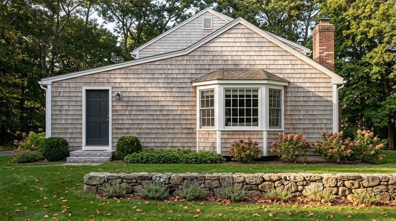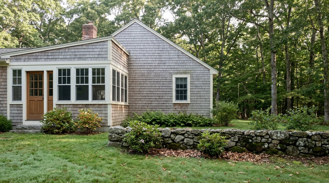
Stand on the ridge at Beaver Brook Valley Preserve and you are standing on the frozen memory of a river. The 73-acre parcel along the western edge of I-495, tucked between the Route 111 and Route 2 exits, is what geologists call an esker: a ridge of sand and boulders left behind when a stream ran beneath a melting glacier and dropped its sediment as it went. Locals just call it the Boxborough Esker. Walk the top of it and Beaver Brook is visible below to the west, still following roughly the same path its ancestor carved out under the ice.
Most people who live in Boxborough know there is conservation land. Fewer know how much of it connects into a single, walkable system, or that a local nonprofit has quietly turned that system into something closer to a project with a finish line. Here is the piece nobody mentions until you have already started: the Boxborough Conservation Trust runs a standing challenge called "I Hiked the Boxborough 30." Walk every trail on town conservation land and BCTrust property, log the dates on a printed form, and bring it to Sargent Memorial Library for your choice of an iron-on patch or a button. The largest connected loop on that form, strung together from the town's separate holdings, comes out to roughly 30 miles, which is close to the entirety of what the town describes as its "close to 30 miles" of maintained conservation trail.
The Town Didn't Just Preserve Land. It Assembled a Network.
That distinction matters, because Boxborough's trail system is not one big forest with a name. It is a patchwork of separately acquired parcels, some bought by the town, some by donation, some rescued from housing developments within the last few years, that now happen to link up.
Patch Hill Conservation Area is the anchor. At roughly 206 acres it is the largest parcel the town owns, and it sits on a glacial drumlin also known locally as Goat Hill, likely the second or third highest point in town depending on which survey you trust. The land didn't arrive in one transaction. Anne Steele Atwood gave 16.7 acres in 1975 and another 5.17 acres, called the Birchwoods, in 1980. The town's first conservation purchase, the 64.58-acre Wallace A. Robinson Conservation Land, closed in 1976. The largest single purchase, 103 acres, closed in 2002. Both of those town purchases drew on state Self-Help Grants, and in 2015 the BCTrust bought an adjoining 13-acre parcel from the Shurtleff family specifically to protect the wildlife corridor next door. Patch Hill now shelters vernal pools and the headwaters of Guggins Brook, and its name goes back to Nathan Patch, who farmed the area in the 1800s. Long before that, part of the Robinson land held a limestone quarry and kiln, and a stretch of it carried the old stagecoach road to Groton.
You can pick up the Patch Hill trails from five separate trailheads: Depot Road, Liberty Square Road, Avebury Circle, Hill Road, and Tokatwan Spring Lane. The one caveat locals know and out-of-towners don't: skip the Liberty Fields lot on weekends when soccer or Little League is running, since the Recreation Commission asks hikers to leave that parking for game traffic.
Where Boxborough Ends and Stow Begins
Flagg Hill sits on the opposite edge of town, jointly managed by the Boxborough and Stow conservation commissions, and it is the rare local trail that crosses a town line without anyone needing to check a map twice. The only Boxborough access point is off Windermere Drive. From the pond and kiosk there, a red-blazed trail runs about half a mile into Stow's network, where it splits toward the green-blazed Erickson Loop and the white-blazed Stow Trail, which continues another eight tenths of a mile to West Acton Road. From there a yellow-blazed spur, the Woodhead Trail, branches off toward Boxborough Road, still in Stow. The main route through the property follows an old 18th and early 19th century carriage road that once extended as far as Groton, and the land saw use by Native Americans well before European settlement.
The town's trail network isn't uniform by design. Part of it is a paved, wheelchair-accessible path through the Cisco corporate campus. Part of it is the rugged, root-crossed terrain of Patch Hill. That range, from pavement to backcountry, in a town of roughly ten square miles, is what makes the "walk all of it" challenge harder than it sounds.
The Newest Link Almost Wasn't There
Not every parcel in the network has been protected land for decades. Perkins Woods, along Sargent and Littlefield Roads near the Littleton line, came within a Town Meeting vote of becoming five house lots. In early 2022, the town was given a 120-day window to exercise its option to purchase the property for $1,250,000. Residents voted at May 2022 Town Meeting to buy it using Community Preservation Act funds and other town money, the Boxborough Conservation Trust raised more than $200,000 toward the cost, and by September 2022 the effort had also secured a state LAND grant. In June 2023 the town placed a permanent conservation restriction on the land with Sudbury Valley Trustees and has since built trails connecting it to the surrounding network. The property, bisected by the Fitchburg commuter rail line, now functions as part of a wildlife corridor used by bobcats, fishers, and owls, and it sits over ground identified for its aquifer recharge potential.
It is worth sitting with that timeline for a second. The trail network a hiker walks through today exists because residents showed up to a Town Meeting in May 2022 and voted to spend the money, and because the town finished the job by recording a permanent conservation restriction on the land in June 2023. The "Boxborough 30" is not a fixed course. It is a moving target that keeps getting a little longer as the town keeps saving pieces of itself.
How to Actually Do the Challenge
For anyone who wants to try it, the mechanics are simple:
- Pick up a free hard-copy trail map at Town Hall or Sargent Memorial Library, or use a mapping app like AllTrails to track your route.
- Print the BCTrust participation form and log the date you complete each trail segment, whether you do it in one long push or over a season.
- Follow standard trail etiquette: pack out what you carry in, keep dogs leashed where required, and tell someone your route before you head out, especially on the wetter, less-traveled sections of Patch Hill.
- Do a tick check when you finish. Massachusetts woods in warmer months mean this is not optional advice.
- Bring the completed form to Sargent Memorial Library and choose a patch or a button.
There is no deadline and no entry fee. It is simply a standing offer from a volunteer-run land trust that has spent almost three decades assembling the ground you are walking on.
The Actual Finish Line
After 30 miles, or even after a three-mile loop through Patch Hill on a Saturday morning, Boxborough has two very specific answers to "now what."
Two Friends Chocolates, on Massachusetts Avenue, started as a birthday gift between two friends. Lala Selvaraj wanted to recreate the British truffles she and Neethu Viswanath had loved while studying in Scotland, and what she made in her Boxborough kitchen in 2016 turned into a storefront by 2020. The shop's truffles and chocolate bars are now sold in more than 60 stores around New England and in Whole Foods, and the seasonal drink menu leans into whatever is in season, from spiced hot chocolate in winter to fruit-forward cold "sparklers" in warmer months. Seating is outdoors only, on a small patio, which makes it a genuinely good stop after a dusty trail rather than a place to track mud through.
Craft Food Halls, on Beaver Brook Road, named for the same brook that carved the esker, takes the opposite approach: indoor, loud, and built for groups. Three food concepts share the space, including Project X Pizza, alongside a pour-your-own beer and wine wall, ping pong, pool, and foosball. It is the better call if the hike involved kids who have burned off exactly none of their energy.
Boxborough's trail network rewards the kind of attention that only comes from actually walking it: knowing which lot to avoid on game days, which ridge used to be a riverbed, and which chocolate shop started in someone's kitchen four miles from where you're standing. That is the kind of local knowledge that also matters when the conversation eventually turns to buying or selling a home here. The Wins Team works this corner of Middlesex County from Concord outward, and if Boxborough is on your radar for reasons beyond a Saturday hike, reach out anytime to request a complimentary home valuation.